We are now 6 months into the DPL00020 project ‘Data-driven approaches to agricultural adaptation’. There has been plenty of report writing, some of which are in their final draft stages. Elements of broader toolkits are in development, including a newly designed data package for all things land use and climate change related to planning and research here in the Falklands. Alongside this, a new training package interrogating the data package is in development, to be used to help level up GIS and data management skills. An online map showcasing the data in the data package is on its way, and an online directory is also nearing completion. The directory will allow people to find a wide variety of national and international support documentation, training, webGIS, spatial/temporal data and beyond that will help climate change adaptation planning and research.
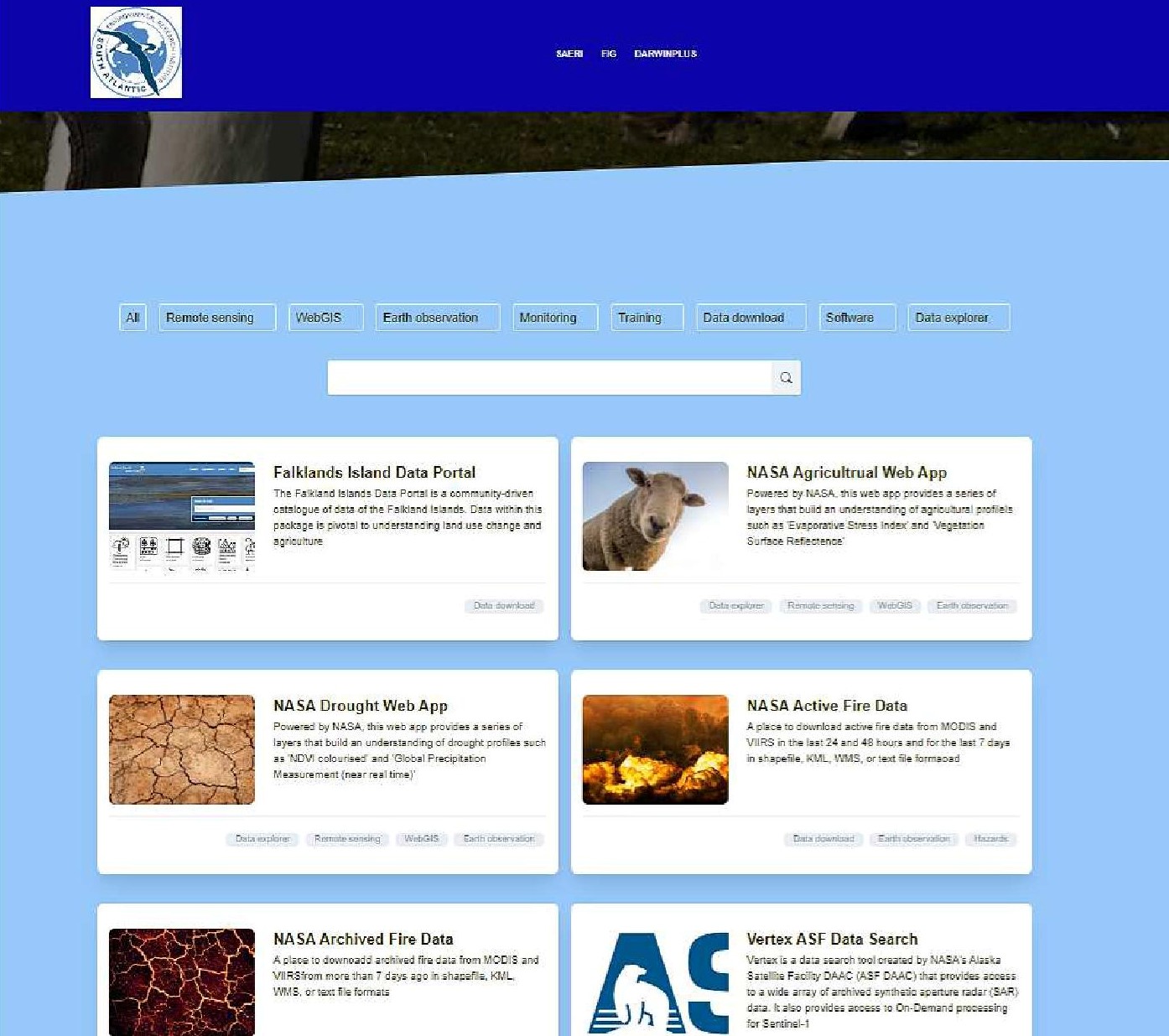
Fig 1 – Screenshot of newly developed online agricultural adaptation toolkit directory
Some of the farmers have been beta-testing these outputs, to assist them with things like fence mapping, and pond drought identification, so it's great that things are already in use! Hopefully, we can roll them out more widely in time. Panning through the Department of Agriculture's internal data drives has produced some gold nuggets of useful datasets! They are currently undergoing metadata archiving, cleaning and being reviewed for submission into the data portal. With less than 3 months to go, it is full steam ahead to ensure all of the outputs mentioned and more are delivered. Here’s looking forward to it.