Updates from the Environmental Data Services Centre
Jack Ingledew-Gale
The EDS Centre has had a busy couple of months, including fire hotspot surveying on Sea Lion Island, building partnerships with universities of Chile, and providing training for FIG staff in GIS and Data Management. Here are some of the updates below:
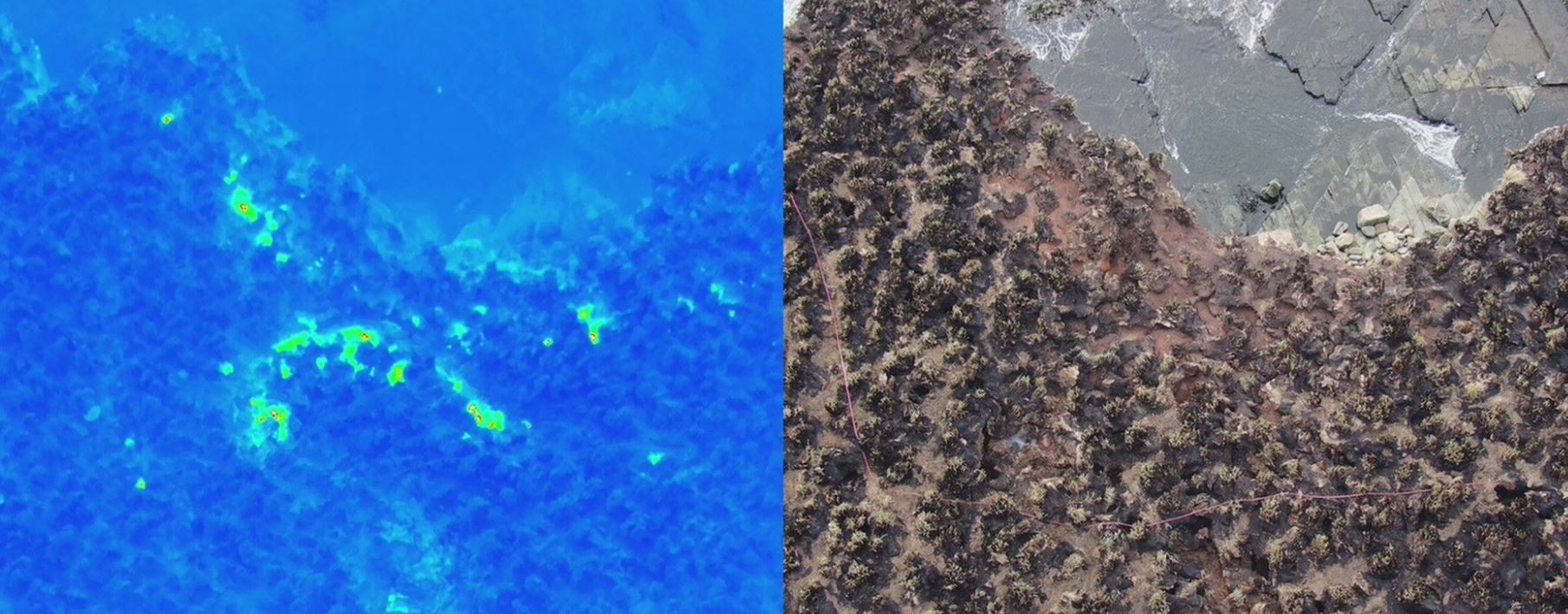
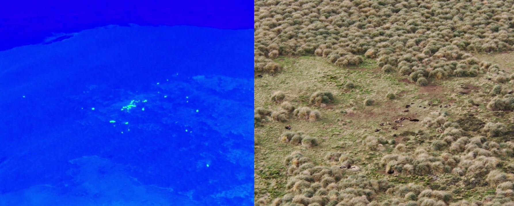
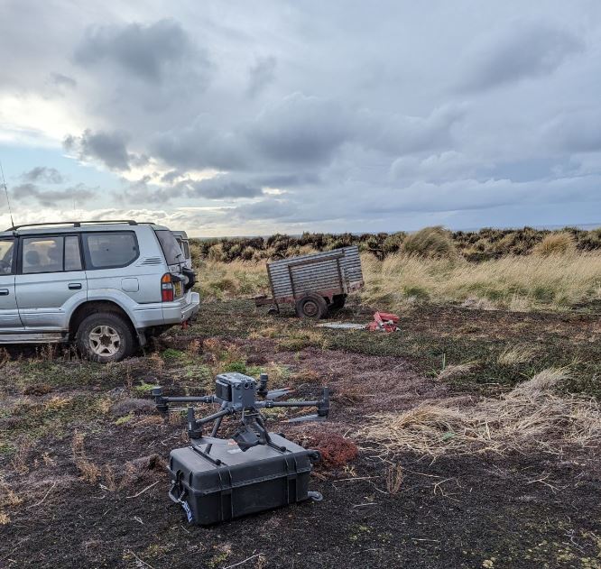
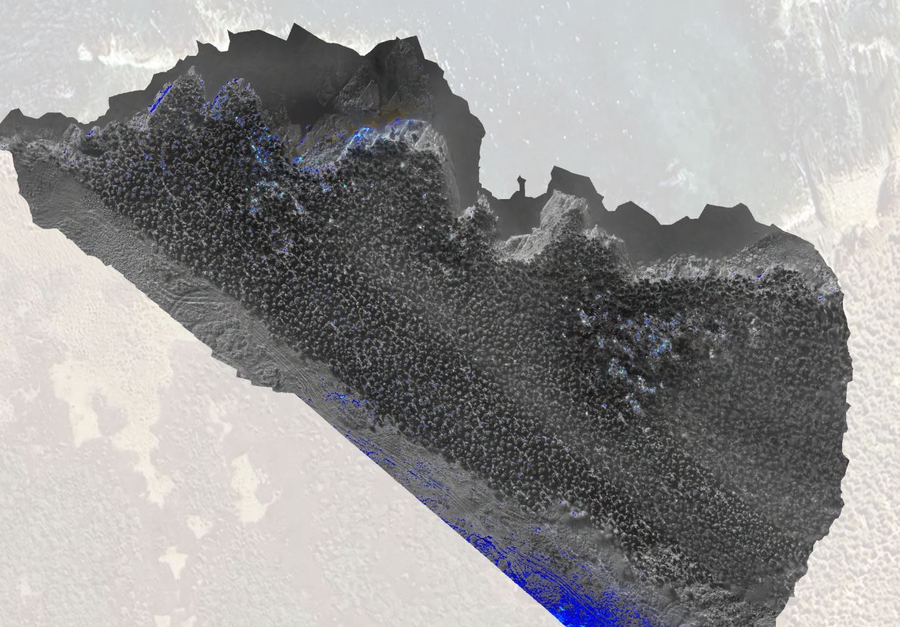
Sea Lion Island fire surveying: The first real test of the DJI Matrice 350RTK/H20T thermal imaging drone combo on Sea Lion Island in the Falklands, where a lightning strike caused a fire in the peat and Tussock grass, a few weeks prior. The footage shows the ability of the drone in identifying subsurface hotspots (and a few ‘false positive’ sea lions also ????) Thermal orthomosaic creation in Agisoft Metashape Pro
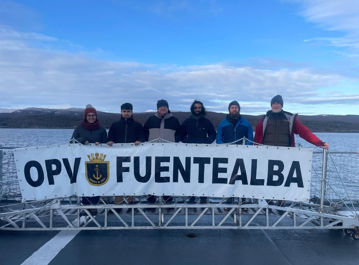
Building partnerships in Chile: In early May, we had the privilege of attending the second international conference at the Cape Horn International Centre in Puerto Williams, Chile. Jack presented the work of our EDS Centre to a group of enthusiastic Chilean researchers. Discussions on collaboration spanned drone surveying, data management, and GIS. The group also embarked on a breath-taking trip along the Beagle Channel with the Chilean Navy, spotting many whales along the way.
Data Portal/WebGIS: Jack presented the introduction/refresher to the Falkland Islands Data Portal/WebGIS to Falkland Islands Government (FIG) employees in late May. This covered topics such as local datasets available, spatial data management, and visualisation. These sessions help raise awareness of what data is available and potential uses for geospatial projects on the islands Jack also helped FIG Planning team access existing data and provided two members of the Environment Department with an introduction to using QGIS geospatial software.