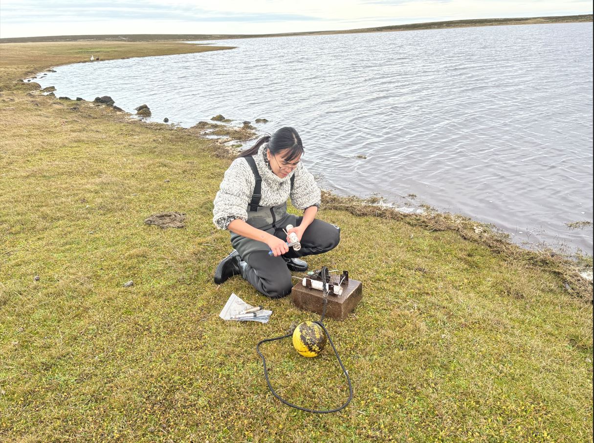
As part of the DPLUS206 Freshwater Project, we carried out site visits to four key freshwater monitoring locations between June and September 2025. These visits supported ongoing data collection and equipment maintenance, and we replaced loggers to ensure the continuation of long-term monitoring. This work is vital for tracking changes in the freshwater environment and improving our understanding of water resources in the Falkland Islands.
Monitoring sites visited:
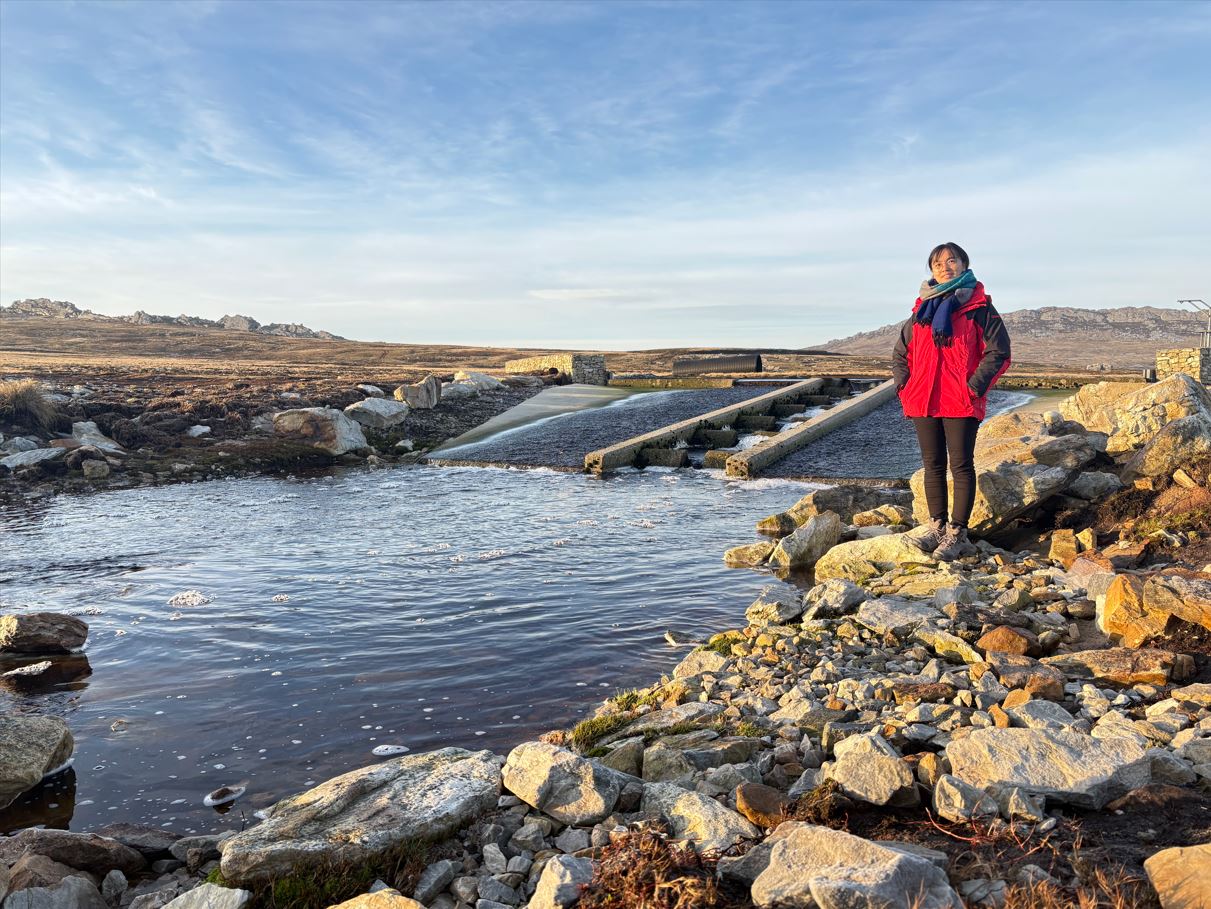
In line with the project’s objectives, we are expanding in-situ hydrological measurements to complement satellite observations and strengthen hydrological modelling. To support this, we visited the Moody Brook and Murrell River water treatment plants and reservoirs to gain a better understanding of operational processes and the procedures used to maintain water quality.
New water level loggers (BaroSCOUT and LevelSCOUT) were also installed in the Murrell River to provide continuous records of water level fluctuations. This marks the beginning of long-term monitoring aimed at improving our knowledge of river health and resilience.
Additional site visits:
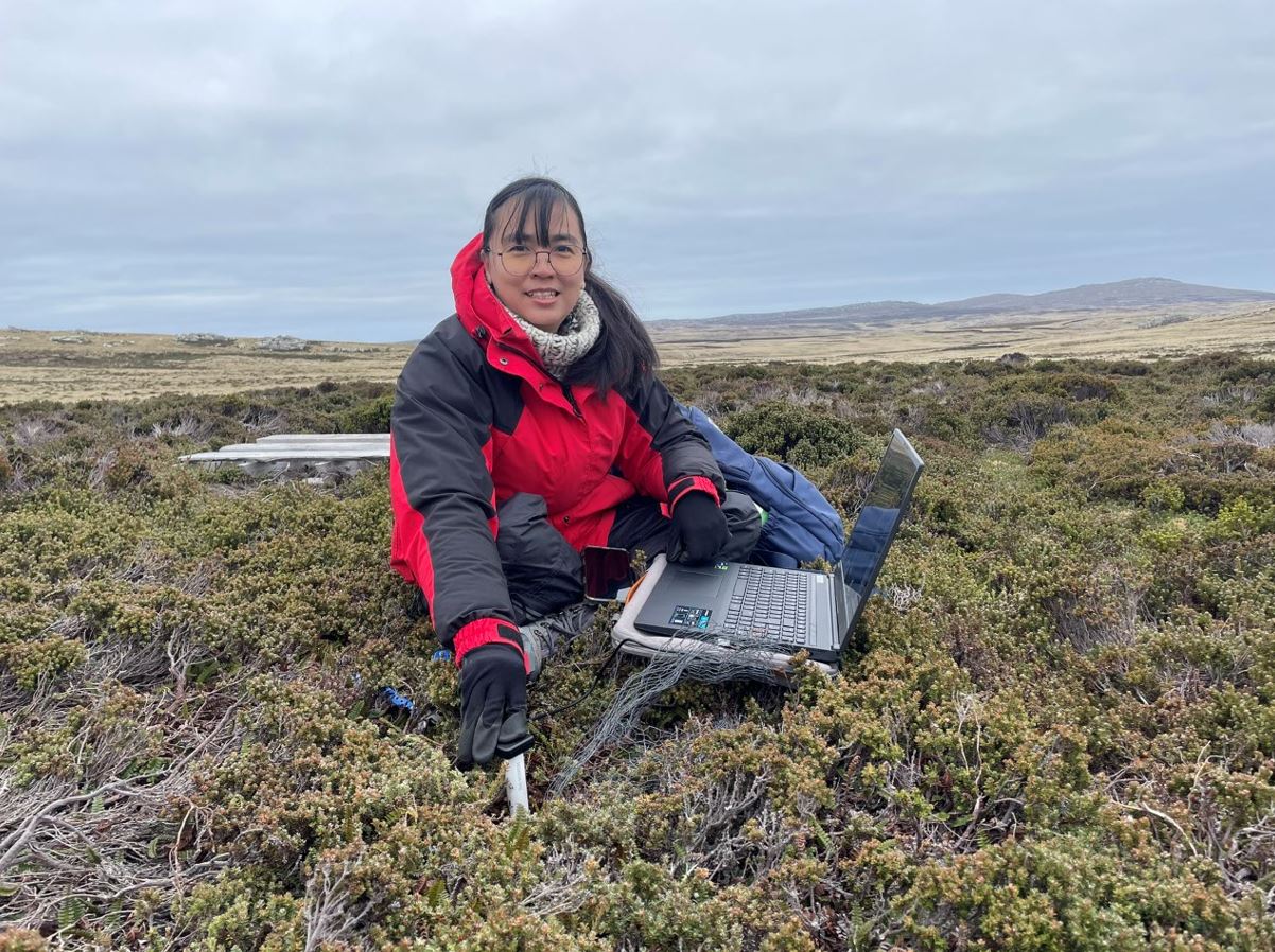
On 9 and 10 September 2025, we visited Wireless Ridge, and on 19 September 2025, we went to Cape Pembroke to download data from TMS dataloggers, which were originally installed in February 2021 as part of the Wetland Project. These ground-based measurements provide critical reference data for calibrating and validating hydrological models, helping to improve the accuracy of freshwater assessments and support long-term water resource management strategies.
The Freshwater Project is funded by the UK Government through the Darwin Plus programme and the Falkland Islands Government and is delivered in partnership with the UK Centre for Ecology & Hydrology (UKCEH).
We sincerely thank our project partners and local landowners for their continued support and for providing access to sites, which makes this important monitoring work possible.