Diddle-dee dieback remote sensing and mapping is in full swing! Recently Evan and Erica (Department of Agriculture- DoA) spent a week on the west visiting collaborating farms that have sites showing dieback of diddle-dee.

The field excursion set out to capture nadir images with a DJI Phantom 4 drone equipped with a multispectral camera, recording the dieback area extents using handheld GPS for ground-truthing purposes, and habitat composition quadrats to identify the distribution of living and dead plant species.
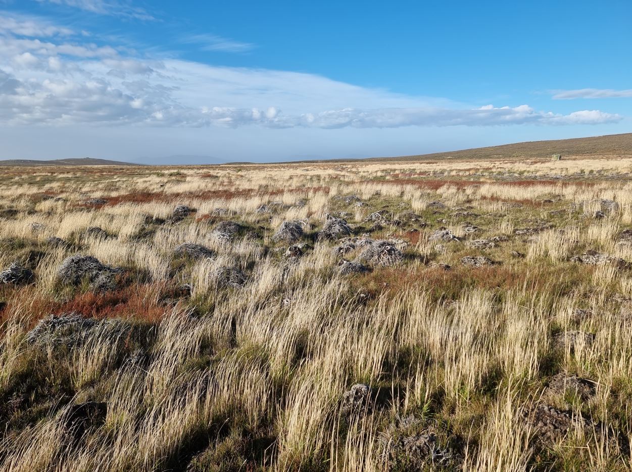
The trip started at Shallow Harbour with some amazingly calm weather allowing for multiple drone flights over the impacted areas. Some locations are already showing signs of soil erosion, a key reason for investigating this issue [image 1].
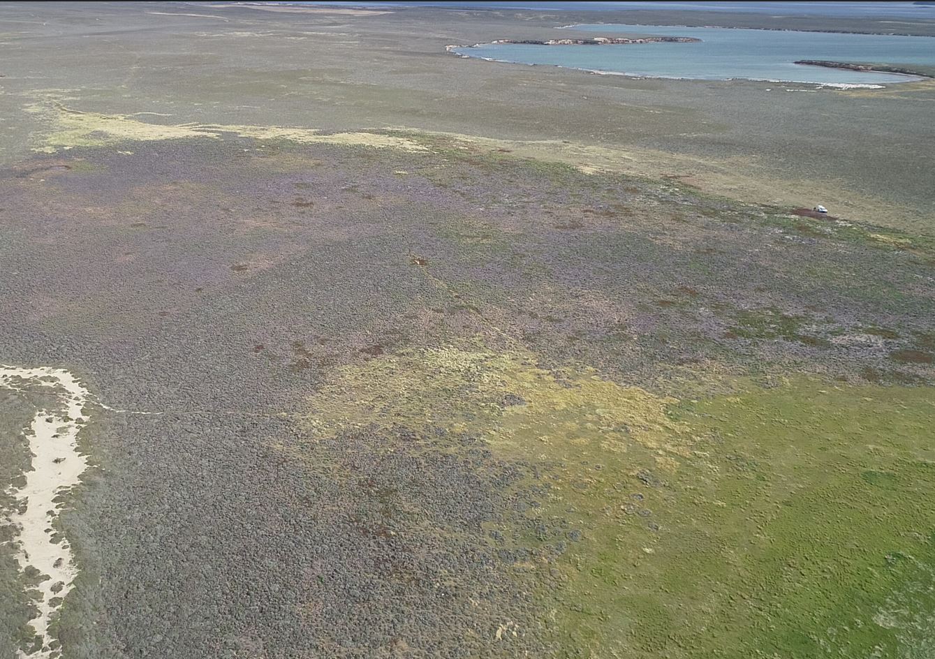
Next was Hope Harbour/Dunbar where the wind picked up for the whole day and flying was not viable. Instead, efforts were made to cover many sites on foot mapping impacted area extents and completing habitat quadrats of those areas. We also inspected areas where stock is excluded that are now showing visible signs of new growth [image2].
Finally, we visited Spring Point to map a large area suffering from diddle-dee dieback. Able to fly again we set out to map the entire area and collect multiple quadrat analyses covering a variety of situations of death and regrowth [image 3].
The data collected will be used to evaluate the ability of remote sensing to detect areas of diddle-dee dieback by differentiating healthy and dead vegetation. The drone imagery and ground-based assessments will then be used to scale-up to a camp and farm scale using readily available satellite imagery. At this scale we will compare impacted areas to existing environmental datasets to examine for any possible links or patterns relating to diddle-dee dieback.